At a glance
- Lines
- 4 numbered metro lines, plus the Busan-Gimhae Light Rail and Donghae Line commuter rail
- Fare
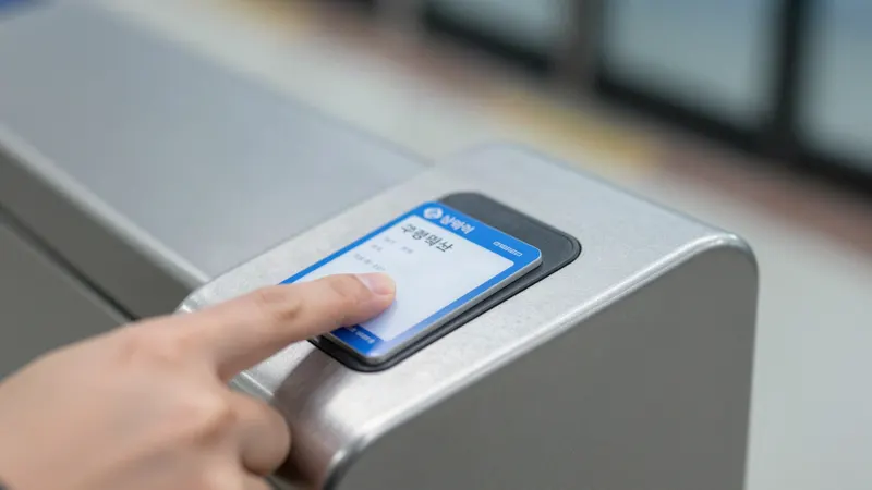
- Distance-based, cheapest with a T-money-compatible card
- Official map
- Busan Transportation Corporation (humetro.busan.kr) — always the most current version
You don't need to memorize the whole map
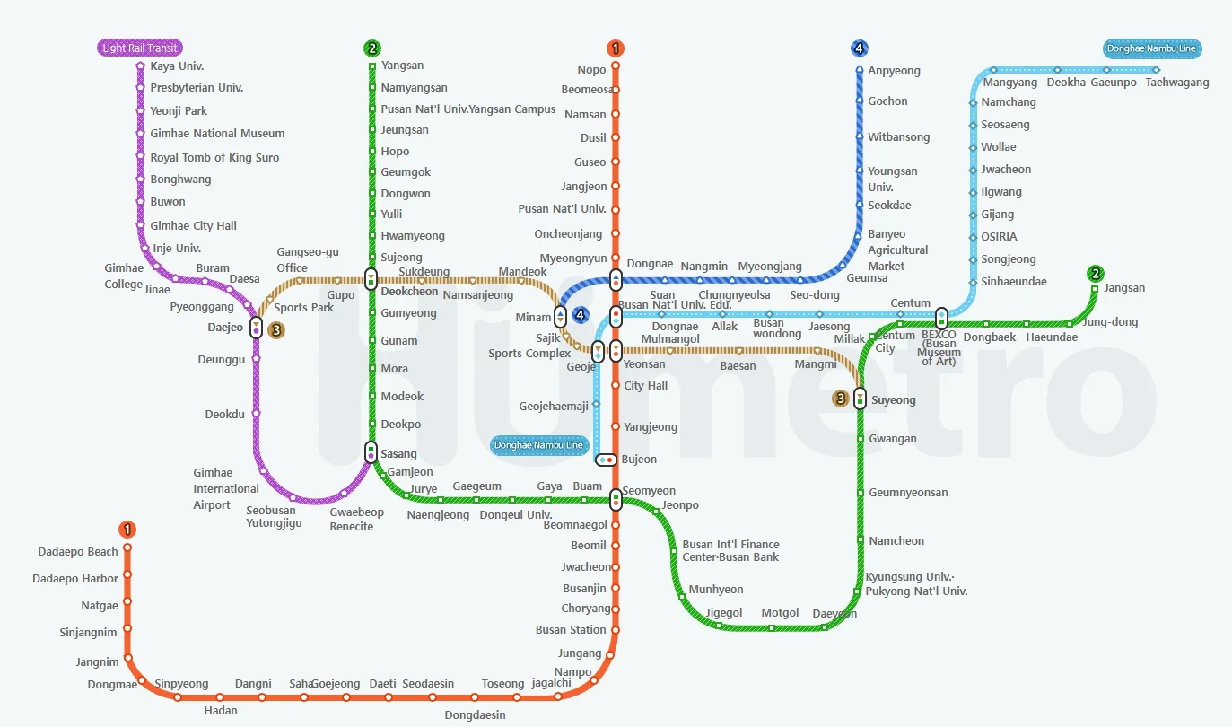
Busan's metro map looks dense at first glance, but most first-time visitors only ever use small sections of four lines. Rather than trying to learn the full system, it's more useful to know which line covers which part of the city, and which few stations you're likely to actually use.
For the full, always-current map, use the official version from Busan Transportation Corporation rather than a screenshot from any travel blog, including this one — station names and connections do occasionally change as the network expands.
Line 1 (Orange) — the old city line
Line 1 is the most useful single line for a first-time visitor. It runs from Nopo in the north through Dongnae, Seomyeon and Busan Station, down to Nampo-dong and Jagalchi, continuing further to Hadan and Dadaepo Beach in the south.
This is the line that connects Busan Station, Seomyeon and Nampo-dong/Jagalchi Market — the core of most old-city itineraries.
Line 2 (Green) — the beach line
Line 2 is the longest line and the one that reaches Busan's beach districts. It runs from Jangsan (near Haeundae) through Suyeong (near Gwangalli) and Seomyeon, continuing to Sasang, where it connects to the Busan-Gimhae Light Rail toward the airport.
If your trip includes Haeundae or Gwangalli, Line 2 is the line you'll use most.
Line 3 (Brown/Gold) and Line 4 (Blue) — secondary connectors
Line 3 runs roughly north-south through the city's interior, connecting to Line 1 and Line 2 at several points — useful mainly as a transfer line rather than a direct destination line for most visitors. Line 4 is a shorter light-metro line connecting the Suyeong and Dongnae areas.
Most first-time visitors won't need Line 3 or 4 directly, but they're worth recognizing on the map since they appear at several transfer stations.
Beyond the numbered lines
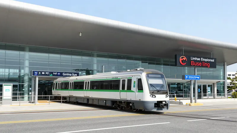
The Busan-Gimhae Light Rail connects Gimhae International Airport to Sasang Station, where it meets Line 2 — see our Gimhae Airport guide for the full route. The Donghae Line is a separate commuter rail useful for reaching areas further up the coast, such as near Songjeong Beach and Osiria (the stop for Haedong Yonggungsa Temple).
- Full details: Gimhae Airport to Busan City Center
- Full details: T-money Card in Busan: How to Buy, Load and Use It
One transfer quirk worth knowing: the Donghae Line
The Donghae Line is operated separately from the four numbered metro lines, and transferring between them isn't quite as seamless. A T-money-compatible transit card generally works across the transfer, though it can involve an extra fee compared to a same-system transfer. Single-use paper tickets and multi-day unlimited passes, however, typically don't work for a Donghae Line transfer at all.
Quick reference
| Line | Color | Useful for |
|---|---|---|
| Line 1 | Orange | Busan Station, Nampo-dong, Jagalchi, Seomyeon, Dongnae, Beomeosa |
| Line 2 | Green | Haeundae, Gwangalli (via Suyeong), Seomyeon, Sasang (airport transfer) |
| Line 3 | Brown/Gold | North-south transfers through the city interior |
| Line 4 | Blue | Short light-metro link near Suyeong and Dongnae |
Attractions near each station
This is the part most maps don't spell out clearly: which station actually gets you close to which sight. The list below covers the stops most relevant to a first-time visitor.
| Station (Line) | What's nearby |
|---|---|
| Toseong (Line 1) | Gamcheon Culture Village (by taxi/bus from here) |
| Jagalchi (Line 1) | Jagalchi Market, Gukje Market, BIFF Square, Songdo Beach |
| Nampo (Line 1) | Yongdusan Park, Busan Modern History Museum, Huinnyeoul Culture Village |
| Busan Station (Line 1) | Choryang Ibagu-gil, Busan's Chinatown area |
| Seomyeon (Line 1/2) | Jeonpo Cafe Street, Seomyeon Underground Shopping Center |
| Oncheonjang (Line 1) | Dongnae Hot Springs, Geumgang Park |
| Beomeosa (Line 1) | Beomeosa Temple |
| Hadan (Line 1) | Dadaepo Beach |
| Haeundae (Line 2) | Haeundae Beach, Dongbaek Island |
| Suyeong (Line 2/3) | Gwangan Bridge and Gwangalli Beach, Millak Waterside Park |
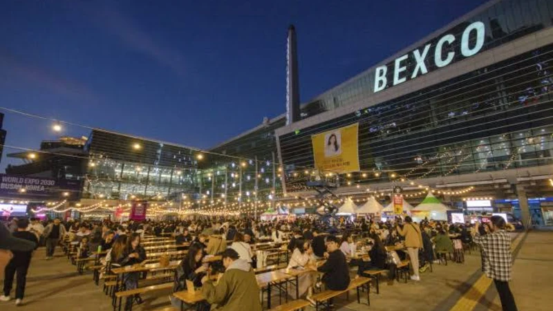
| Centum City (Line 2) | BEXCO, Busan Cinema Center (the main BIFF venue) |
| Gwangan (Line 2) | Gwangalli Beach, Oryukdo Skywalk area (short taxi ride) |
Frequently asked questions
Which Busan metro line should I use for the old city?
Line 1, the orange line, is the most useful single line for a first-time visitor. It runs from Nopo in the north through Dongnae, Seomyeon and Busan Station down to Nampo-dong and Jagalchi, continuing to Hadan and Dadaepo Beach in the south — the core of most old-city itineraries.
Which line goes to Haeundae and Gwangalli?
Line 2, the green line, is the longest line and the one that reaches the beach districts. It runs from Jangsan near Haeundae through Suyeong near Gwangalli and Seomyeon, continuing to Sasang, where it connects to the Busan-Gimhae Light Rail toward the airport.
Do I need Lines 3 and 4?
Most first-time visitors do not need them directly. Line 3 runs roughly north-south through the city's interior and is useful mainly as a transfer line, and Line 4 is a shorter light-metro line connecting the Suyeong and Dongnae areas. Both are worth recognizing on the map since they appear at several transfer stations.
Does a day pass work on the Donghae Line?
Usually not. The Donghae Line is operated separately from the four numbered metro lines, and transferring is not as seamless. A T-money-compatible transit card generally works across the transfer, though it can involve an extra fee, while single-use paper tickets and multi-day unlimited passes typically do not work for a Donghae Line transfer at all. Use a loaded transit card if your plans include it.
Where can I find the current official Busan metro map?
Use the official version from Busan Transportation Corporation at humetro.busan.kr rather than a screenshot from any travel blog, including this one. Station names and connections do occasionally change as the network expands.